Lakehopper
Website RepositoryLakehopper is my vision for an autonomous drone that can fly long distances by hopping from one lake to the next, recharging its batteries each time using solar panels.
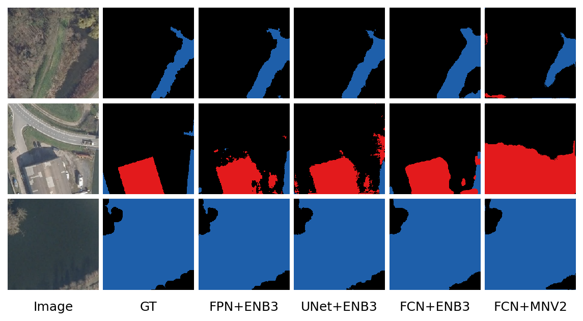
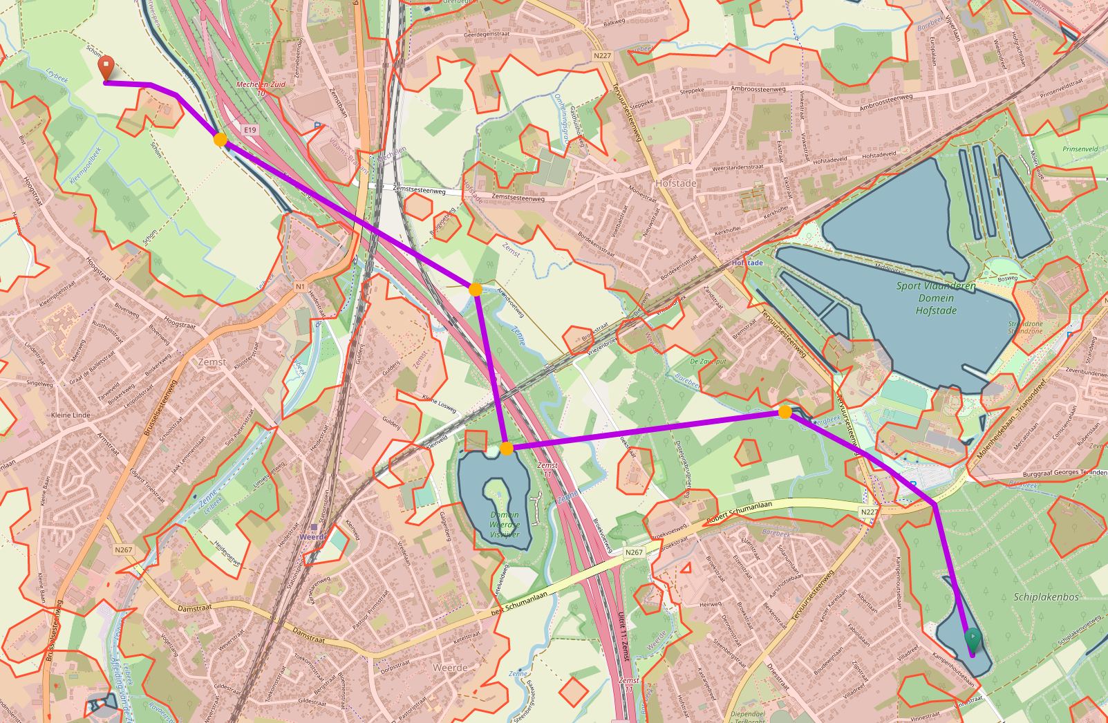
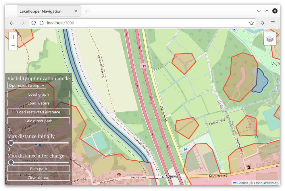
As my Master’s thesis, I developed Lakehopper’s high-level planning software. This system uses a convolutional neural network to identify lakes and buildings from aerial imagery. From this, it generates a navigation graph to calculate the best multi-hop paths between lakes. These paths avoid build-up areas and restricted airspace. This software uses Python and Tensorflow 2 to create and train the models. The planner component that generates the navigation graph and calculates shortest paths is written in Rust and also acts as the server for a pure-TypeScript web interface.
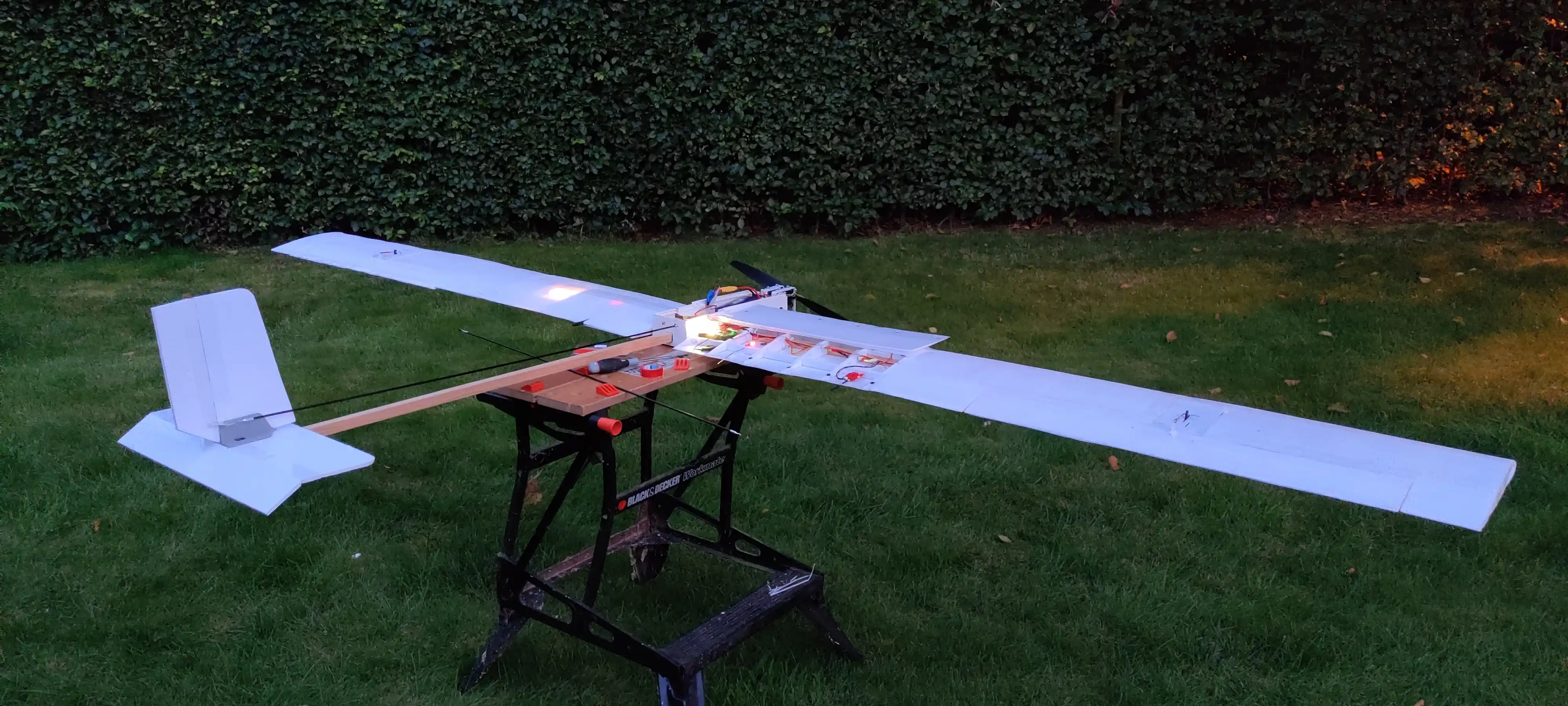
In my free time I’m working on the hardware of the drone. The first
version I developed
unfortunately experienced a crash rapid unscheduled
disassembly
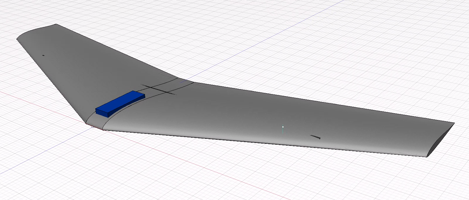
on its maiden flight. I’m currently working on the second
version.
